
Jacksonville University GIS Conference Hosted at Jacksonville University
About the GIS conference
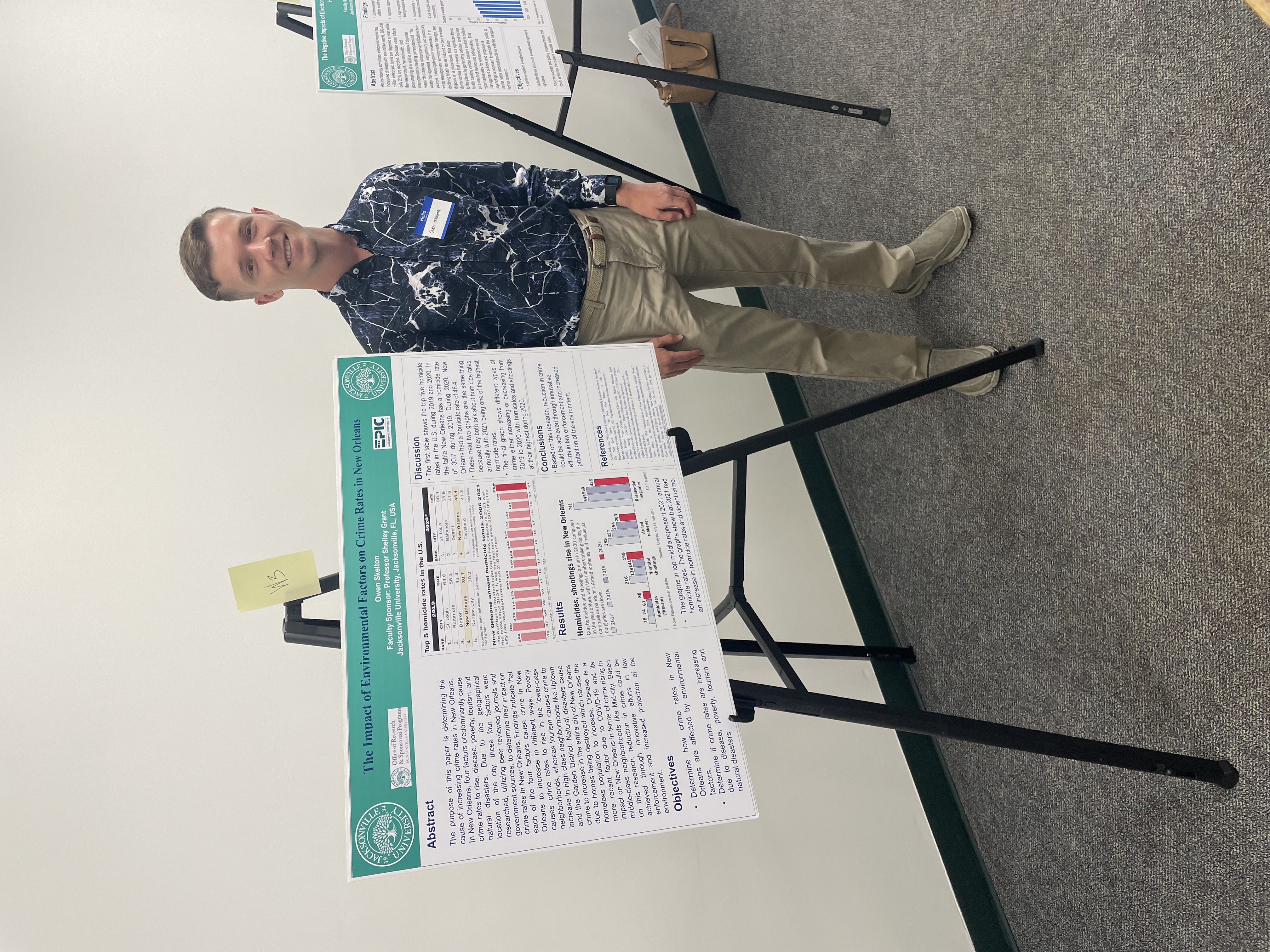
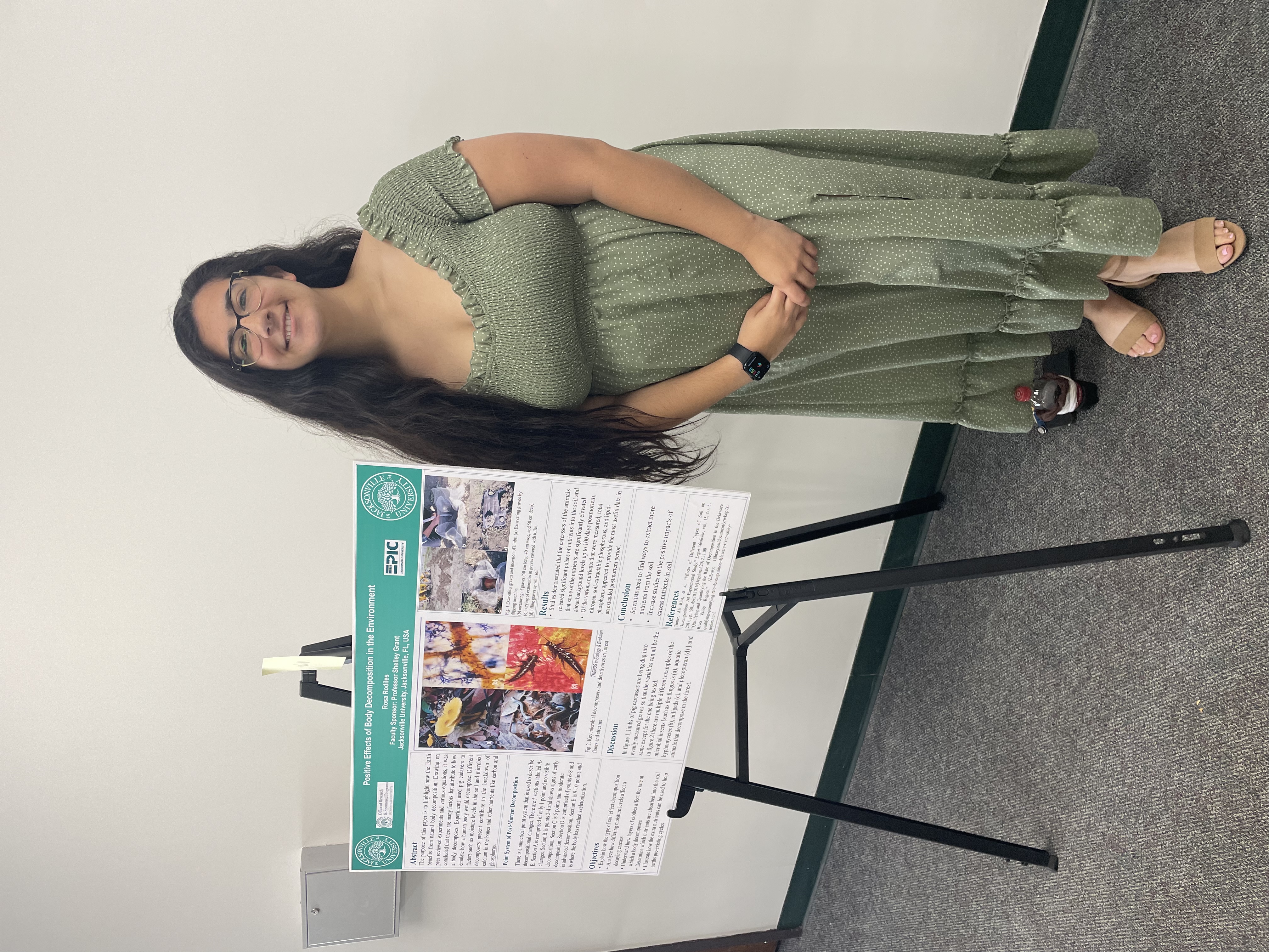
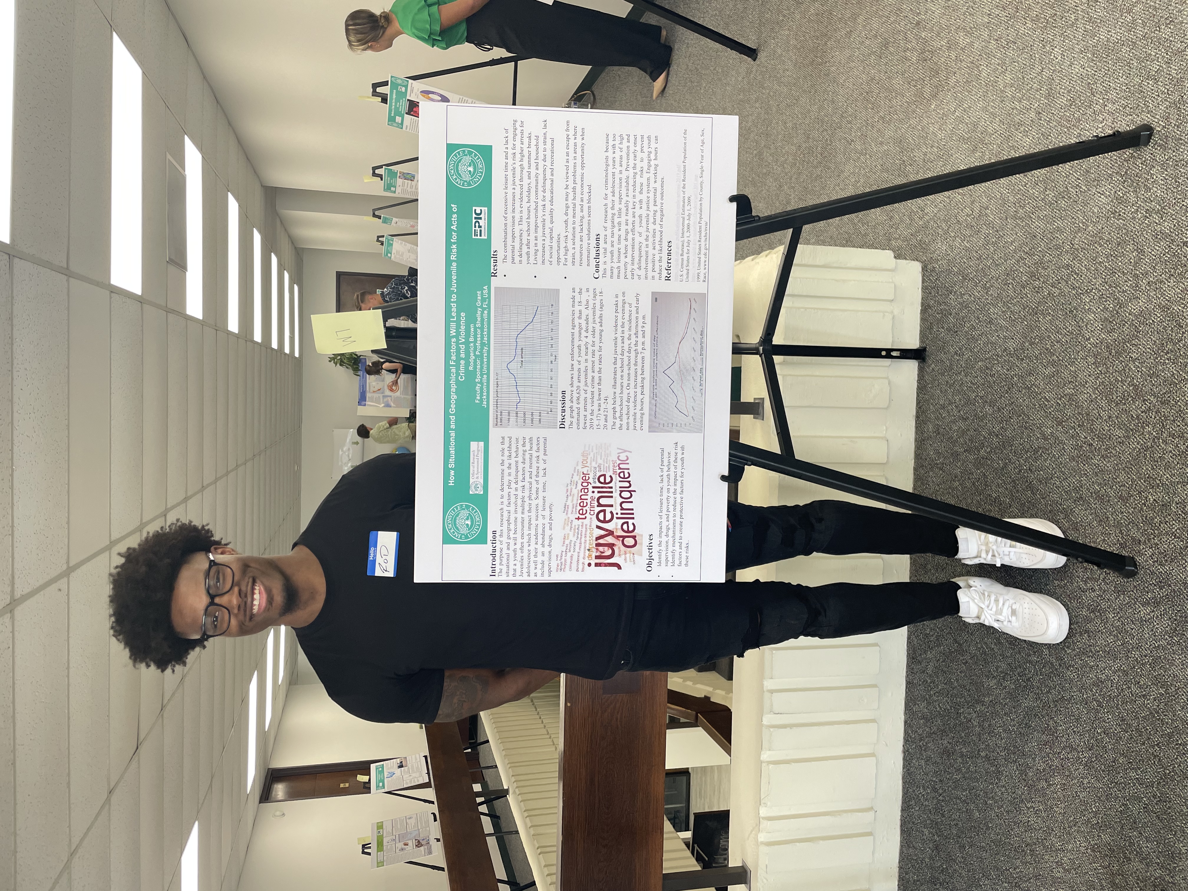
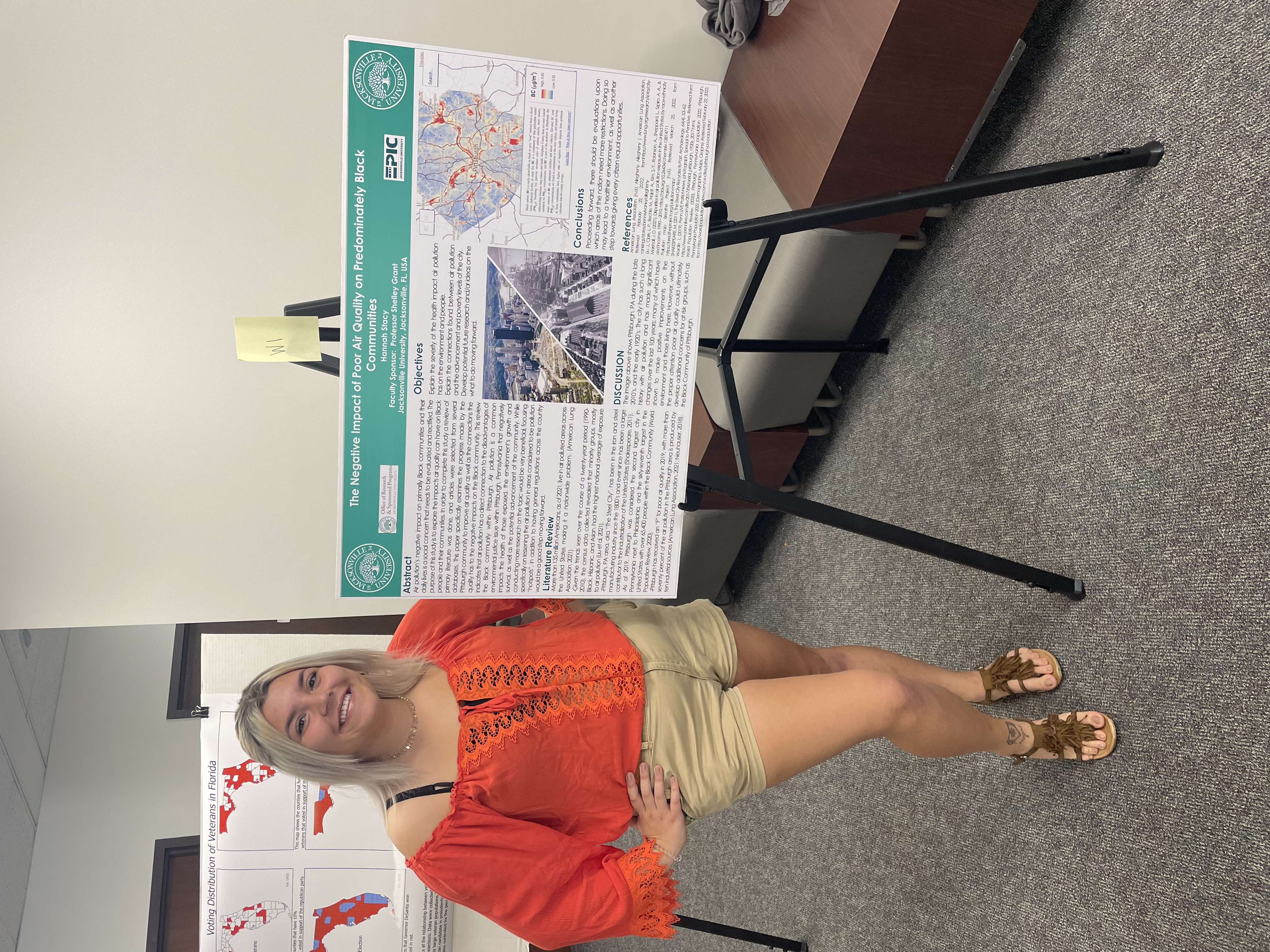
This regional conference highlights research conducted by JU students and faculty who apply geographic information systems (GIS) to address various environmental challenges. Students and faculty have an opportunity to present their research through a poster or podium, as well as connect with local and regional GIS organizations, law enforcement agencies, legal experts, and more. Attending the conference is free and open to those who are interested in attending.
Where: Jacksonville University, STEAM Building
When: Friday April 18, 2025 from 10:30 A.M. to 2 P.M.
2025 Theme: Exploring Wicked Problems: Where Human Health and Environmental Sustainability Intersect.
Thank you to Gemini Engineering for their generous sponsorship of the Jacksonville University GIS Conference. Your contributions make all the difference in the education of our students.
Who's Involved?
- Conference Leadership Board
-
Student Contributions:
- Students in the classes listed below provide the content for this conference, from
the research presented to the published conference proceedings.
- GEOG 275TI - Introduction to GIS
- GEOG/SOC/POL 341WI -Writing in the Social Sciences
- GEOG 455 - Advanced Applications for GIS
- GEOG 488 — Advanced Independent GIS Research
- Students in the classes listed below provide the content for this conference, from
the research presented to the published conference proceedings.
-
Faculty Mentors:
-
Industry Guests:
- St. Johns Riverkeeper
- Florida Fish and Wildlife Conservation
- Jacksonville Transportation Authority
- Jacksonville Sherrif's Office
- Gemini Engineering
- Cordell Technologies
- Hanson Professional Services
- Frontier Precision
2025 Proceedings
Past Conferences


2022 Program and Proceedings
Sustainability, Geography, and Environmental Planning
Related Links
Contact
Sustainability, Geography, and Environmental Planning
Sustainability, Geography, and Environmental Planning
Jacksonville University
Gooding Building
2800 University Blvd N
Jacksonville, FL 32211
(904) 256-7669