Jacksonville University has been long considered home to “the map people”.
Answering the question of “where?” through GIS technology— professors, students, and alumni of the Geography department have worked for decades to address current issues and inform decision-making at the local, state, and even federal levels.
“The type of geospatial analysis that can be accomplished using GIS is crucial to solving so many of the problems we face today. From charting and projecting the geographic spread of a contagious disease like COVID, to determining the best location for a new school, riverside park, or restaurant, Jacksonville University has been gathering and mapping data about Northeast Florida for decades,” says Professor of Geography Dr. Ray Oldakowski.
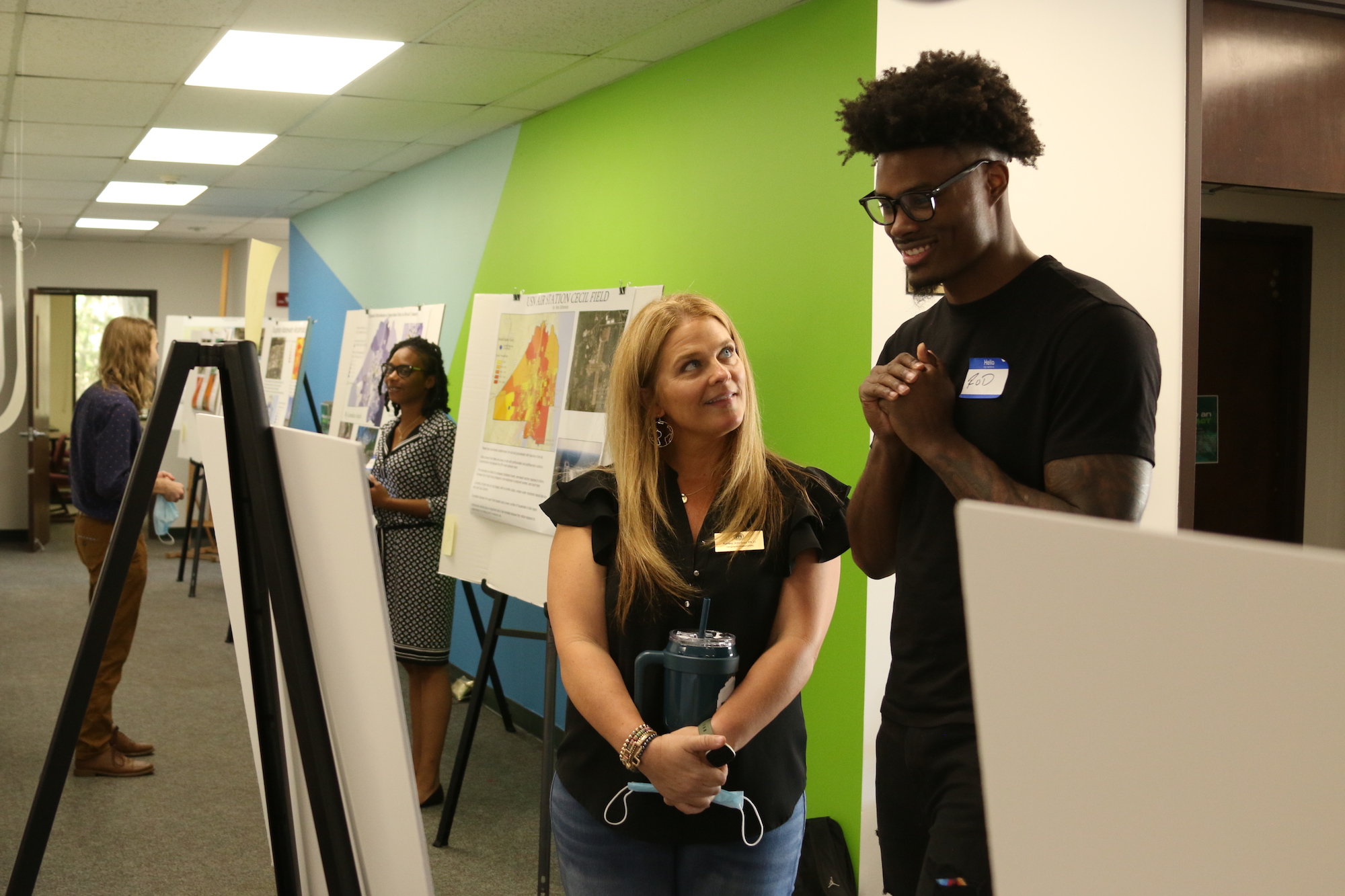
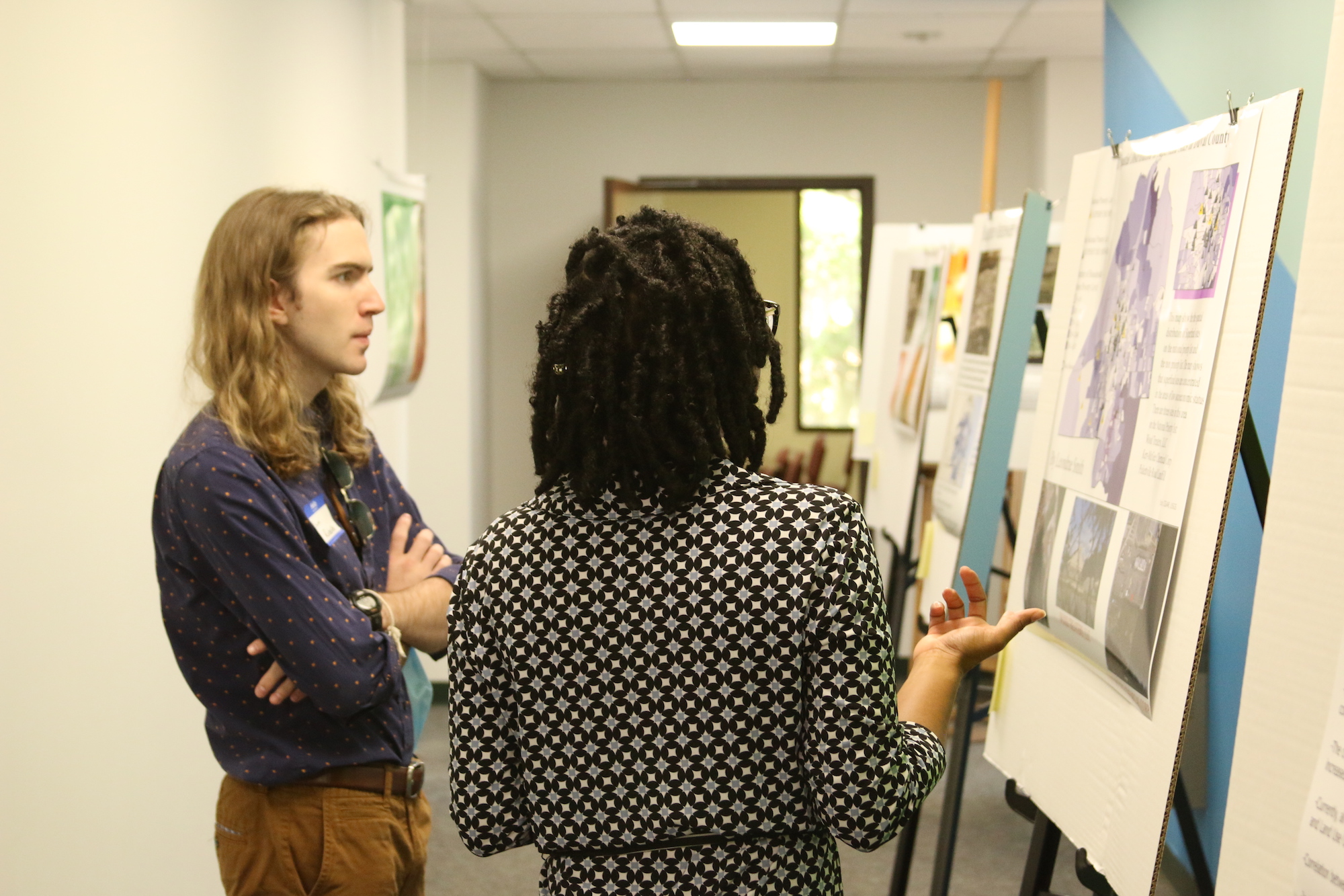
This Spring, professors Shelley Grant, Dr. Ashley Johnson, and Dr. Ray Oldakowski combined their GIS and Writing in the Social Sciences courses to offer students an opportunity to research, analyze, and present a current issue through the use of maps. Student-led, and made possible through I-DID grant funding and support from Gemini Engineering, Jacksonville University hosted its first regional GIS conference this April.
“Our teaching technique required students from several theme-connected undergraduate courses to plan, organize, and execute a one-day local conference. The theme for the courses and conference is the spatial analysis of environmental issues, especially those addressing green crimes. The students conducted their own research as part of their course responsibilities and presented their findings at the conference,” says criminal justice expert and Assistant Professor of Sociology Shelley Grant.
The conference brought close to 100 student presenters, alumni, and industry professionals together to explicate some of the toughest issues faced today—the impact of cryptocurrency on the environment; negative externalities associated with electronic waste mismanagement; the influence of community gardens on food deserts; hate crimes and its impact on neighborhoods; and more.
Alumni and industry professionals from JTA, JSO, Gemini Engineering, Cordell Technologies, Frontier Precision, St. Johns County Public Works, and Hanson Professional Services observed the student presentations and evaluated their use of GIS.
“It is important that students’ college experiences and courses prepare them to successfully enter this type of job market. According to the Bureau of Labor Statistics, the employment of geoscientists is projected to grow five percent from 2019 to 2029, faster than the average for all occupations,” she said. “This growth is largely led by expertise in spatial analysis and proficiency in the use of industry-standard mapping software, ESRI’s ArcGIS suite. In the areas of sociology, regional and urban planning, conservation, and criminal justice, GIS skills are applicable and valuable for candidate differentiation in the job market.”
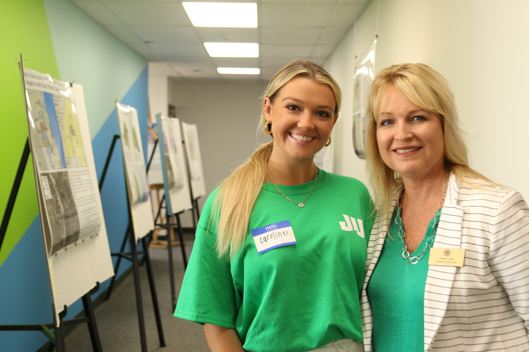
The conference would not have been possible without the hard work and leadership of select Jacksonville University students: Caroline Grant, Abigail Dischner, Ulises-Gabriel Sabato, and Brianna Taylor who edited and printed the maps, designed the conference space, and organized communications to current students, alumni, and industry partners.
“The conference was a huge achievement and I am proud of each student’s effort. They were able to showcase their GIS skills to a variety of potential employers and this experience will set them up for success in the future,” Johnson added.
Dr. Johnson and Dr. Oldakowski will present the outcomes of this conference and how it challenged and supported student learning of spatial concepts at the Education Summit at the GIS User’s Conference in San Diego this July.
Learn more about the GIS conference and student work at www.ju.edu/environment/gisconference.php.
This project was funded through an internal grant program called I-DID: I Did It Differently. Funded by the Florida State Department of Education, the I-DID grant program is an EPIC-supported initiative that is managed by the Jacksonville University Office of Research and Sponsored Programs.
Photos by Taylor Sloan